

I downloaded all the Open Street Map for Gaza. The data is representative for what Gaza was like before its current destruction, it has not been updated:
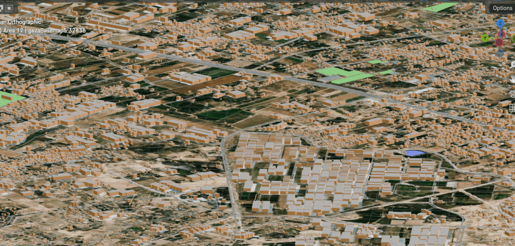
You can download the Open Street Map data directly through Blender, using the BlenderOSM plug-in, which is awesome.
I didn’t want to overtax my laptop or the internet, or run into download limits, so I first went into QGIS and created 12 areas over Gaza, and just downloaded the Open Street Map data segment by segment.
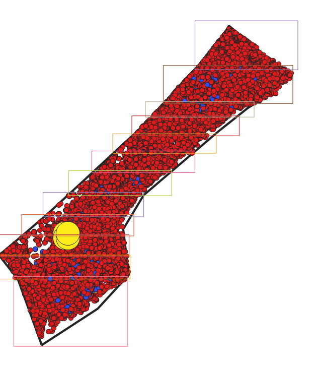
In QGIS, I also have the data from UNOSAT about all the buildings in Gaza that have been destroyed (the red ones, so practically all of them). I created a grid of that data, and my next step is apply that grid to the buildings in Blender. In that way, it will be a 3D visual of what’s been destroyed there.
